The Largest Blind Spot on Earth

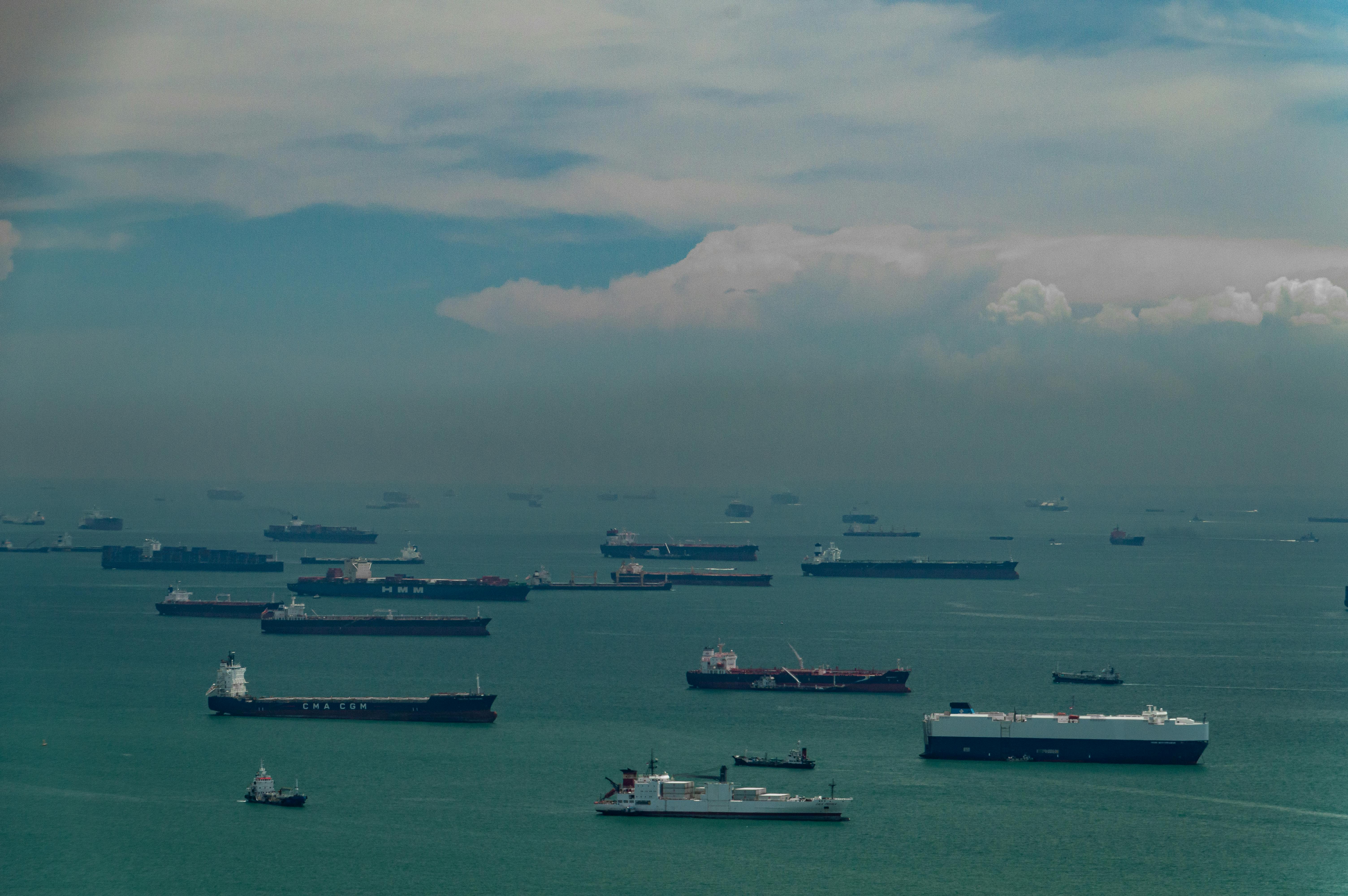
The ocean carries 80% of global trade and covers 71% of the planet. It remains one of the least instrumented environments on Earth.
Today we're announcing that Quartermaster has raised $43M in Series A funding, co-led by First Round Capital and Quiet Capital, with participation from TMV Logistics, Steel Atlas, BoxGroup, Operator Partners, Shorewind Capital, and David Adelman. The funding will go toward closing what we believe is the largest data gap on the planet.
.png)
The ocean has not had its AI moment because it has not had its data moment.
Every consequential decision made on the water today is made on incomplete and delayed data. Shipping companies route around weather they can't actually see in real time. Insurers underwrite hulls and cargo using port-call data that's days old and satellite imagery that's spotty. Coast guards respond to incidents they learn about hours after they happen. Fisheries regulators try to enforce rules across millions of square miles with a handful of patrol vessels. Autonomy companies trying to build the next generation of vessels are training on datasets that barely exist.
This has been true for decades. AI doesn't solve it because AI can’t fix a problem it doesn’t have data for. The data underneath maritime decisions today is thin, lagged, and fragmented.
A lot of smart people and a lot of capital have tried to fix this. Satellite constellations, bespoke sensor buoys, country-by-country coastal radar networks, AIS aggregators. Each of those approaches solves a slice of the problem, and each of them runs into the same wall: the ocean is too big, too dynamic, and too sparsely populated by infrastructure for any centralized approach to scale economically. The cost-per-square-mile of building dedicated coverage from scratch is brutal, and the resulting data tends to flow into closed systems that create asymmetric advantages for whoever can afford to pay, rather than shared visibility for the maritime community as a whole.
The existing fleet is the infrastructure.
The only sensing network that can actually scale to the ocean is the one that's already on the ocean.
Six million working and commercial vessels sail the world's waterways every day. Fishing boats, workboats, ferries, cargo vessels, offshore service vessels, coastal operators. They're already in the places where maritime data matters, on every coastline, in every shipping lane, across every fishery. They have power, they have crew, and they have a direct stake in better information.
We equip those vessels with SmartMast, our onboard sensing and edge compute platform. SmartMast captures structured real-time data on vessel activity, environmental conditions, video, geolocation, radio signals, and anomalies, processes it locally, and feeds the structured output into Quartermaster's software platform. Every vessel becomes an intelligent node in a global sensing network. Every additional vessel expands coverage, sharpens the intelligence layer, and increases the value of the platform for everyone using it.
The economics of this approach are fundamentally different from the alternatives. Instead of building dedicated infrastructure from scratch at ocean scale, we're activating infrastructure that's already there. The cost-per-square-mile is a fraction of bespoke systems. The coverage is continuous rather than episodic. And the data flows to the people who need it: insurers, governments, shippers, energy operators, autonomy companies, and the mariners themselves.
.png)
The largest maritime sensing network in the world.
Quartermaster has already built the largest maritime awareness network on the planet.
- More than 10 million square miles of ocean covered to date
- 2.8 million square miles covered in April 2026 alone
- Over 600 vessels active across 25 countries and four continents
- The largest pro-mariner sensing fleet of its kind
Along the way, our network has helped assist in more than 20 rescues of mariners at sea. That last number is the one we think about the most. A pro-mariner sensing network is more than simply a commercial product. It's also infrastructure that makes the ocean safer for the people who work on it. The fleet that powers Quartermaster benefits from the visibility it creates, and so does everyone else operating responsibly on the water.

The next 100 million square miles.
This round accelerates three things: expanding the SmartMast network into more regions and more vessel classes, deepening our analytics platform so customers can act on the data faster and in more sophisticated ways, and growing the engineering, product, and go-to-market teams that turn this into a durable category-defining company.
Visibility shouldn't be a luxury at sea. Insurers, governments, shippers, energy operators, and autonomy companies shouldn't have to operate blind. With this funding, they soon won't have to.
Thank you to First Round, Quiet Capital, TMV Logistics, Steel Atlas, BoxGroup, Operator Partners, and the Quartermaster team. And to the mariners building this with us, and the early customers who helped us grow this we couldn’t have gotten this far without you.
We're hiring across the company, and we're looking for people who want to work on a hard problem that has massive real world implications. If you want to help build the awareness layer of the ocean, and light up the largest blind spot on the planet, we’d love to hear from you at quartermaster.us.
Other articles
Maritime Autonomy and the Fragility of GPS
The Global Positioning System, or GPS, synchronizes the movements of the world so seamlessly that most of us never think about it.